Established in 2016, we exist to help organisations collaborate and coordinate the delivery of large infrastructure projects, using our first-hand experience with the Christchurch and Kaikōura earthquakes.
Assisting the delivery of infrastructure programmes including on alliances such as SCIRT (Stronger Christchurch Infrastructure Rebuild Team), NCTIR (North Canterbury Transport Infrastructure Recovery), TREC (Transport Rebuild East Coast) and large programmes of work for NZTA Waka Kotahi, as well as building innovative technology such as the National Forward Works Viewer and the Underground Asset Register, we look to add value and simplify processes to enable improved and efficient project delivery.
Our small but mighty transportation team are based across the country and are able to service clients both remotely and in person. Between them they have over 40 years of experience working in both alliance frameworks and directly for organisations offering advice on transport planning, programme modelling, network management/controls and programme optimisation.
At Open Plan we do things differently and focus on providing tools that are scalable and automating or semi-automating repeatable processes to reduce costs and provide enduring benefits. Because Open Plan also manages the Forward Works Viewer and the Underground Asset Register platform, we have a privileged position of having insights into both local council and network utility operator operations and planned work data, as well as access to the networks that come with such a facilitating role.
Our software team have the day-to-day responsibility of building and maintaining our innovative yet simple tools which enable more efficient infrastructure planning and programme management. Experts in open-source tools, we’re able to work quickly to deliver meaningful products and solutions to the infrastructure sector.
We LOVE working with clients to solve problems – for the past two years we have been working closely with Auckland Transport on their Activity Coordination Project – a project to enhance the National Forward Works Viewer for total adoption by AT and retire their existing geospatial project viewer.
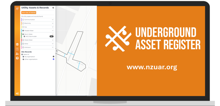
We’ve also worked with the Digital Built Aotearoa Foundation (DBAF), Wellington City Council (WCC) and the New Zealand Utilities Advisory Group (NZUAG) to produce Aotearoa New Zealand’s first Underground Asset Register. Hampered by historical poor record keeping, out-dated data and a lack of easily accessible asset location information, we worked together to create a simple map of Wellington’s underground assets, accessible from anywhere at any time, to users within the construction industry.
The system also enables users to upload notes and photos of their excavation findings, providing a continuous feedback loop to asset owners and creating a network effect of data quality improvements. This project is currently in beta mode and will eventually be rolled out nationally.

Our comms team are involved in a bit of everything – from running the helpdesk for the National Forward Works Viewer and the Underground Asset Register, to running the onboarding process for new subscribers of the tools, writing support guides and creating collateral, and helping with the change management of introducing a new tool. They work closely with our transport team, our software team and our stakeholders, to ensure that there’s consistency and collaboration across all parties. The team have both worked on the NCTIR recovery project, bridging the gap between the local community and the alliance and breaking down engineering jargon into everyday language.

Appointed by the Digital Built Aotearoa Foundation, we are the programme lead for two critically important and extremely useful tools to anyone working within the infrastructure sector:
a 24/7 available online map of Wellington’s underground lifelines and taonga, which also allows users to take photos and upload details of excavation findings, to create a continuous feedback loop and improve asset data quality.

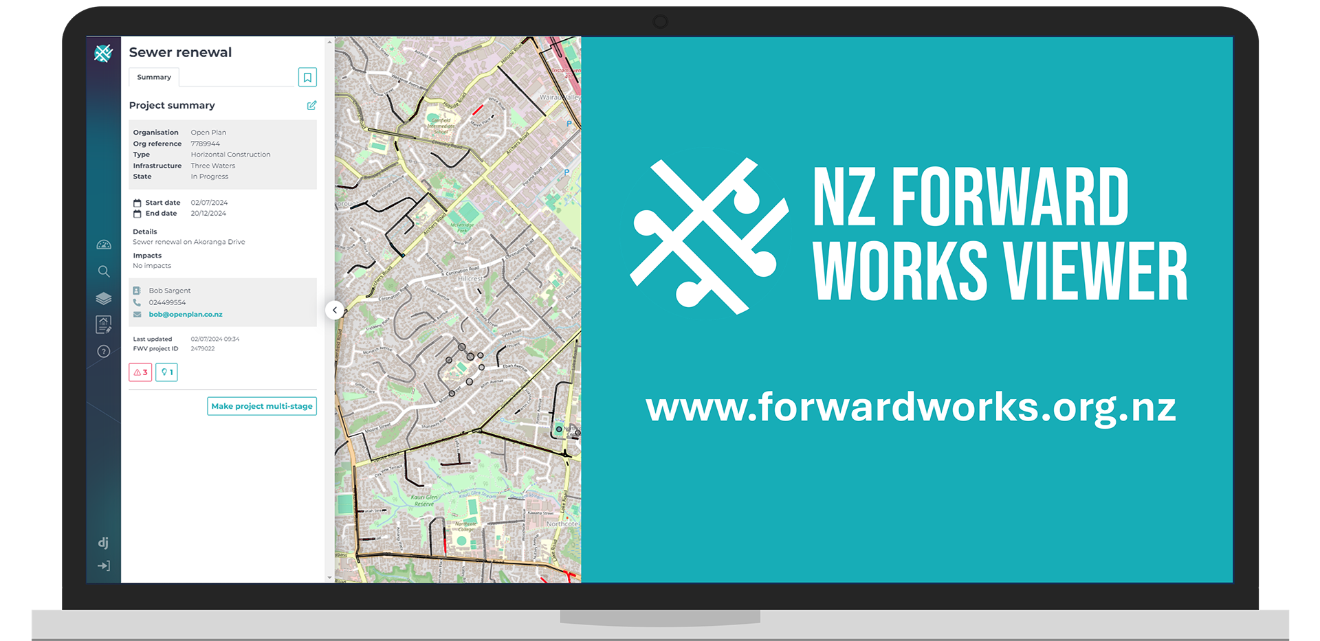
an online map which amalgamates the
who, what, when, where and why
of planned works from different organisations onto one map to provide a single source of truth
